top of page
Industries
We deliver accurate and updated data with our comprehensive drone and sensor portfolio

All phases and parties in a building project benefit from updated and accurate data. We collect terrain data from the air and on ground, and of buildings both inside and outside.
Efficient and timely.

We use high performance drones and sensors to collect meaningful and quality data. This provides a sustainable and efficient alternative to inspect powerlines, scaling against traditional foot patrol and manned flight methods.
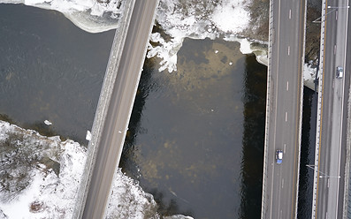
Weather you are building a road, maintaining the railway or working on another infrastructure project. We deliver drone mapping and survey acquisition methods superior to traditional surveying.

bottom of page